I participated in the Nishiizu Skyline Ride Meeting at the invitation of Numata's slope master Koba_Hiro.
Meet at JR(Japan Railways) Kan-nami Station on the Tokaido Line at 9:00. I left home in time for the 6:40 train to Fujisawa Station.
"It's been a long time since I've carried my bike on train. Wonder remember how to do it? Oh, I forgot my bike bag."
Supposed to be put a bike in a bicycle bag, when carrying a bicycle on train in Japan.
Arrive at Kan-nami station at 8:30, where we had a briefing for today's ride and everyone's short self-introduction.
Heading south to Shuzenji on the cycling road along the Kano River.
They say that there will be no resupply points until we come down from the mountain area today.So I bought two rice balls and a beans bread at Family Mart near Shuzenji.
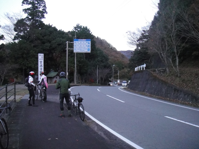
The road gradually becomes narrower, and it seems to be a forest road.
Passing through a forest road-like section of Prefectural Road No. 18,
Arrived at Darumayama Rest House.
Mt.Fuji over Suruga Bay seen from the rest house is the best!
We took a group photo here and then parted ways. Divide into groups by destination and move on.
Turn left at Heda Pass and enter the Nishiizu Skyline.
The Nishiizu Skyline runs while looking at view like this. Well, the tension is up. There are many scenic points.
Downhill!
Repeatedly climbing and descending, we arrived at Kazehaya Pass. The Nishi-Izu Skyline continues a little further, but we descended from here today.
It is a long downhill of 15km from here.
Take a break at Seven-Eleven in Yugashima. Eat 2 rice balls, double cream buns, and a croquette.
After the break, head to Kokushi Pass.
We came down from Kokushi Pass. It's getting close to sunset, so we're going to hurry.
The sun went down at Hiekawa Pass.
Arrived safely at the destination, JR Ito Station . Temperature: 8 - 19degree C (min.-max.)
Travel time: 5 hours 37 minutes
Elapsed time: 8 hours 13 minutes